- Thank you received: 0
URLs from Meta Research
- neilderosa
-
Topic Author
- Offline
- Platinum Member
-

Less
More
18 years 1 month ago #16376
by neilderosa
Replied by neilderosa on topic Reply from Neil DeRosa
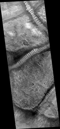
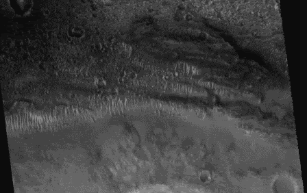
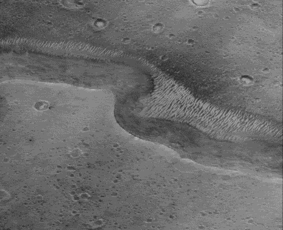
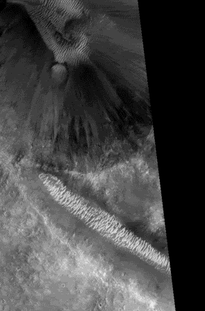
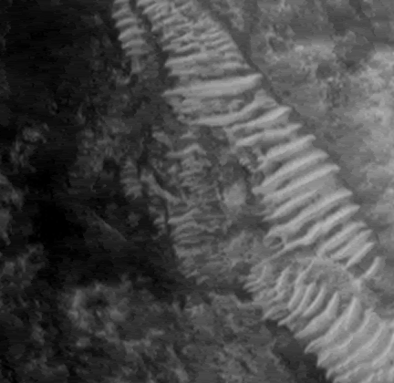
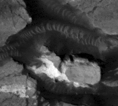
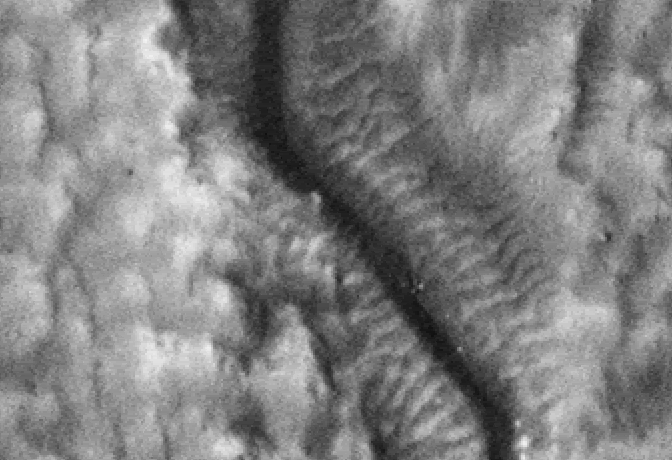
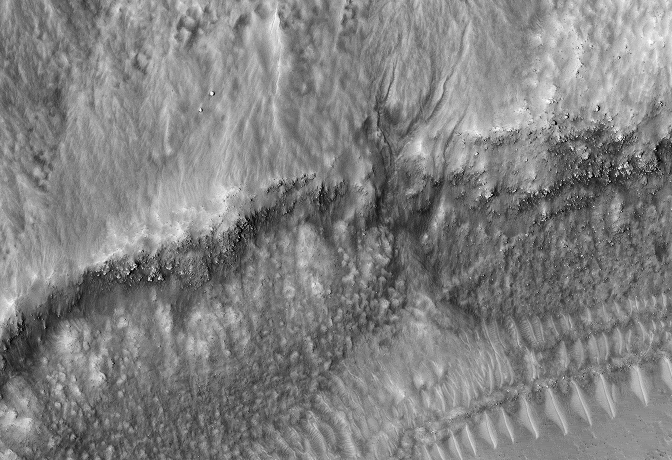
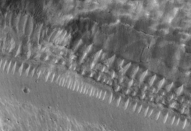
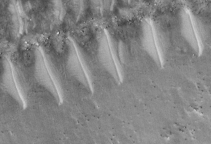
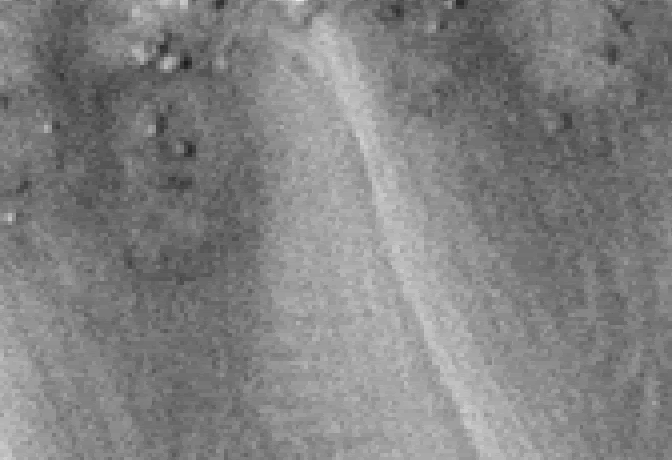
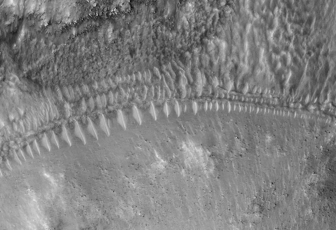
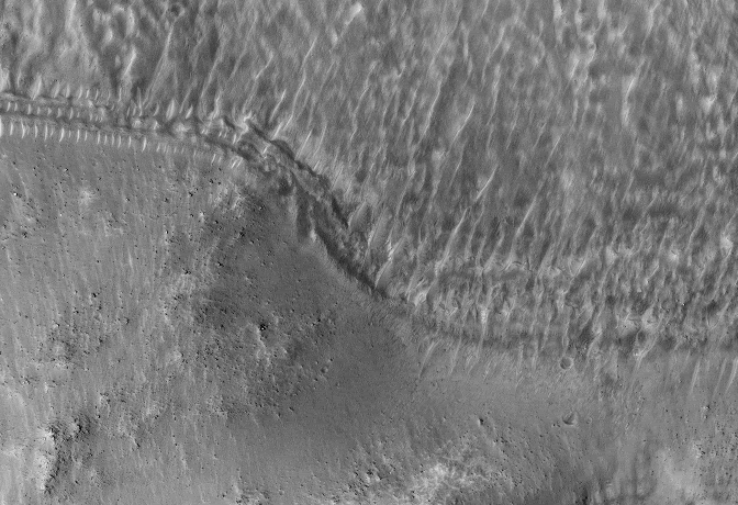
Here’s the rest of the tube analysis begun earlier. The intent is to show that what look like tubes in one image, tend to trail off to striated or seif-like dunes in others. I have no alternate explanations, but these images seem to falsify most but not all of the photographic evidence for conduit tube structures (whether artificial or natural) I have examined.
M1104220, tubes Orme, compressed, once again.
M0002201, near 4220
R1600433 near 4220. Here we see the apparent signature of the seif-like striations of whatever flowed from the trough in the high ground (left) to the valley or trough in the lower ground.
R1102616 near 4220
R1301380 near 4220
R1304035 near 4220. Note that the striations lead to the edge of this apparently deep crater and then are seen again at the bottom of the crater, the obvious result of whatever flowed into the crater.
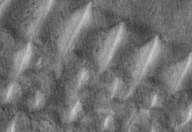
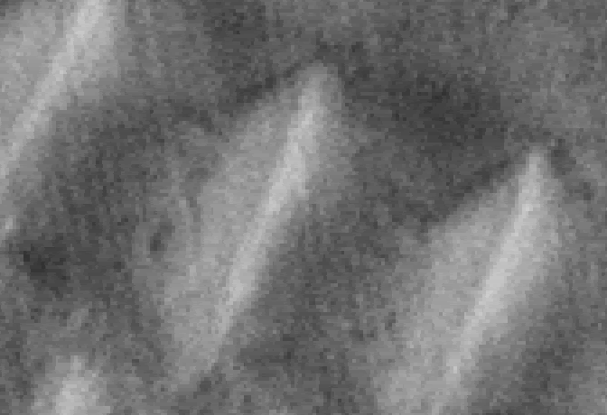
And here are a couple of crops also near M1104220 that appear a little more tube-like and have adjacent characteristic face-like structures.
R0800463 near 4220
R0800463 near 4220
S0500932 near 4220
Neil DeRosa
Please Log in or Create an account to join the conversation.
- neilderosa
-
Topic Author
- Offline
- Platinum Member
-

Less
More
- Thank you received: 0
17 years 6 months ago #18066
by neilderosa
Replied by neilderosa on topic Reply from Neil DeRosa
<blockquote id="quote"><font size="2" face="Verdana, Arial, Helvetica" id="quote">quote:<hr height="1" noshade id="quote">[I've been watching for MRO images of intact tubes, but none have been released yet. I suspect they won't be anytime soon. It's too likely to be a "smoking gun". -|Tom|- Feb. 2, 2007 “MRO First Looks” thread]<hr height="1" noshade id="quote"></blockquote id="quote"></font id="quote">
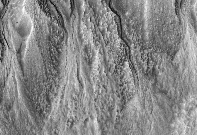
<blockquote id="quote"><font size="2" face="Verdana, Arial, Helvetica" id="quote">quote:<hr height="1" noshade id="quote">Multiple Levels of Gullies (PSP_004085_1420)
This image shows groups of gullies at different elevations on the same crater wall. Although gullies are common in the mid-latitudes of Mars, they are rarely found to exist at such distinct elevations as seen here.
The mounds on the floor, one of which contains gullies, probably formed during a late stage of crater formation. Both levels of gullies appear to originate at layers. These layers might be ice-rich, or they might be capable of conducting water to the surface.
The gullies visible here are good candidates for formation by subsurface water, as opposed to melting ice or snow originating on the surface. The rounded, theater-shaped alcove and tributary heads (see subimage, approximately 140 meters across; 550 x 1018; 1.6MB) are typical of features formed by groundwater sapping on Earth. Surface runoff does not form this morphology.
This image contains possible evidence of subsurface piping, when soil pores connect to form a "pipe" that transports water. When piping occurs, water carries soil with it, leaving empty space beneath the surface. As this process continues, the overlying surface can no longer support itself, and it collapses to form a depression. Several depressions that could have formed this way are seen in this image (see subimage). The depressions are also directly upslope of more developed alcoves. They also originate at upslope layers, and might be examples of developing alcoves. [Credit: NASA/JPL/University of Arizona]
hirise.lpl.arizona.edu/PSP_004085_1420
<hr height="1" noshade id="quote"></blockquote id="quote"></font id="quote">
Though there is some arcane jargon in the HiRISE description, and the links to the sub images are of gullies and not of “tubes,” the language is still revealing, indicating that the reporter is really speaking of “tubes” and not gullies. The “glossy tubes” may indeed be related to the flow of water, later frozen over or in effect leaving “freeze dried” remnants of crystallized soil and water. Rapid sublimation and freezing of the flowing water (from an exploded planet dump?) may later give the appearance of high albedo tubes. Are there any geologists or planetary scientists out there who will weigh in? (Note: Gullies are more or less vertical in image running down crater wall. Tubes run horizontally across the base of the wall.)
Neil DeRosa
Please Log in or Create an account to join the conversation.
Time to create page: 0.255 seconds

